A 7.
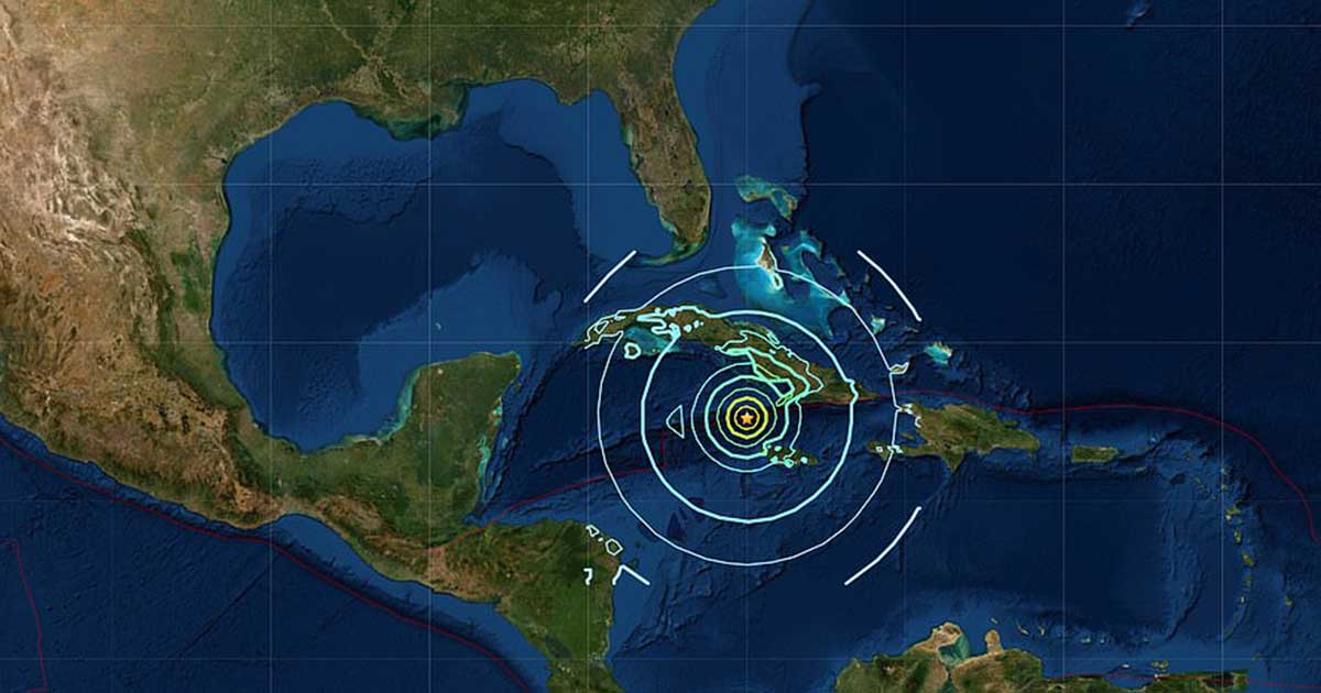
7 magnitude earthquake hit the strait between Jamaica and Cuba on Tuesday, 2:10 pm EST.
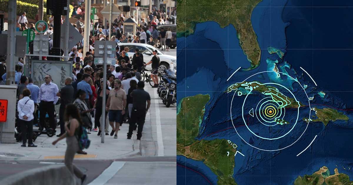
According to the US Geological Survey, the earthquakes epicenter was 72 miles Northwest of Lucea, Jamaica, 87 miles southwest of Niquero, Cuba, and is 6.2 miles deep.
The said epicenter was on top of the Cayman Trough, which is part of the Gonave plate.
The epicenter was relatively shallow, which prompts fears that a shallower earthquake may possibly be more destructive.
An initial report by the USGS rated the quake at 7.3 magnitude, but then upgraded after people from Miami reported that they felt tremors as well.
If the quake is confirmed to be of 7.7 magnitude, it will be the largest earthquake since the 8.0 quake in Peru last.
A tsunami alert issued by the Pacific Tsunami Warning Center states that it is possible for waves up to 3.5 feet may hit the coasts of Belize, Cuba, Honduras, Mexico, Jamaica and the Cayman Islands.
The Cayman Islands Disaster Management Agency issued a warning and strongly suggested that citizens near the shores evacuate vertically as a precaution.
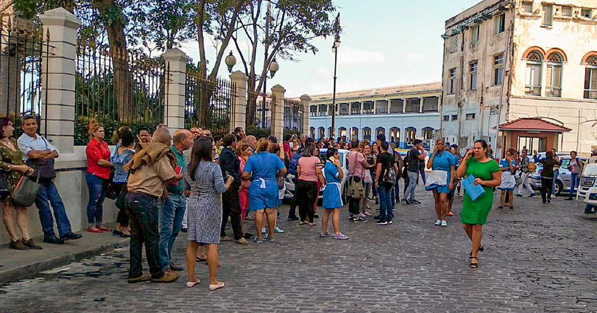
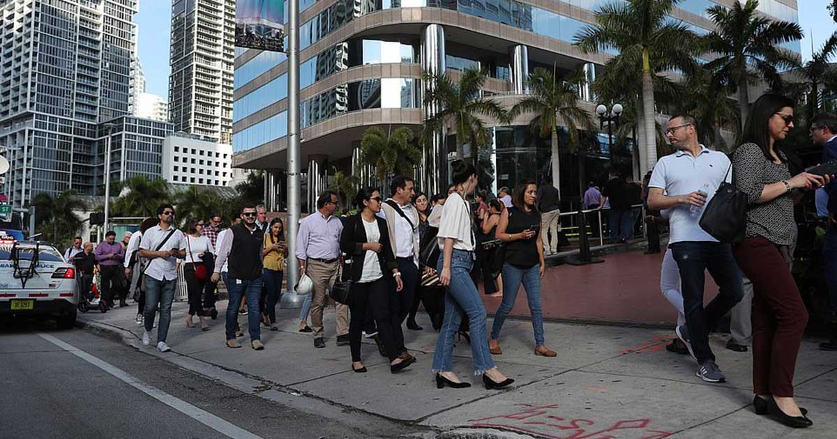
People in Jamaica, Cuba, and even as far as Miami evacuated buildings after reporting they have felt the tremors.
As of 3:45pm EST, the National Weather Service updated the alert and said that the tsunami threat has largely passed.
There are no reported deaths or injuries yet the extent of the damage is still unclear, but there are still threats of aftershocks.
One aftershock was reported at around 5pm EST, and was rated at 6.5 magnitude.
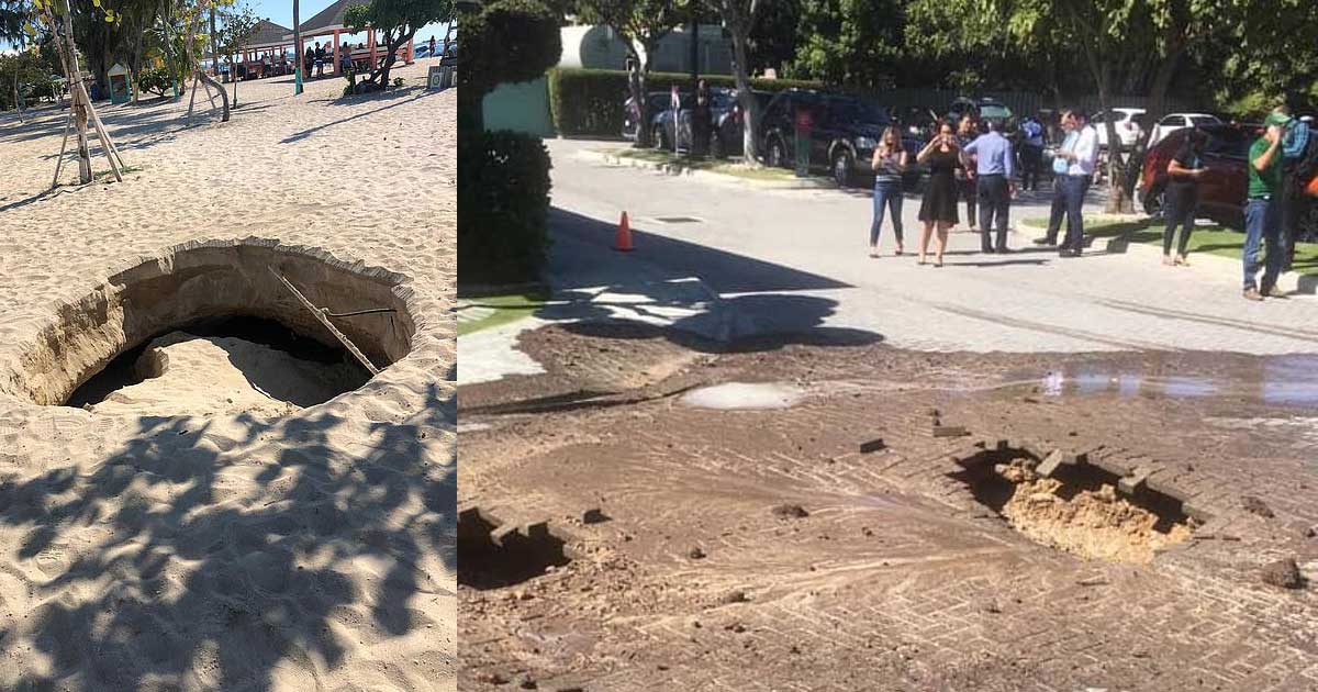
New images popped up around social media showing huge sinkholes and sewage spilling out of broken pipes from cracks left by the tremors.
A psychiatrist at a Cayman Islands hospital reported to have seen how the force of the quake had a manhole cover blown off, but no serious damage was reported.


