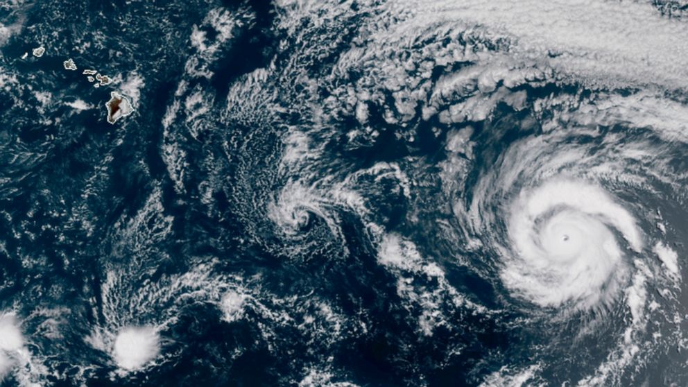
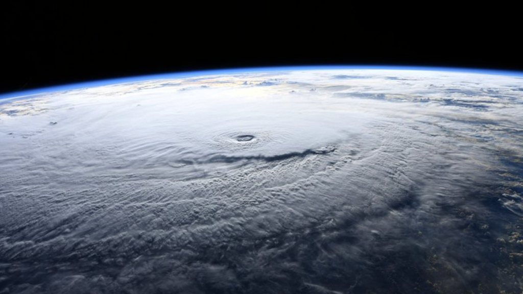
Currently, the strongest storm on the planet is Major hurricane Douglas.
Satellite images show that this category 3 hurricane with winds over 120 mph are approaching the islands of Hawaii.
Hurricanes with winds between 111 to 129 mph are the category 3 hurricanes. Any hurricanes that are category 3 or higher are officially classified as major hurricanes, which is what Douglas is at this moment.
The National Hurricane Center (NHC) has called for authorities in Hawaii to monitor the movement of Douglas. It warned that winds, high waves and concentrated rainfall can begin affecting the islands late Saturday night or Sunday depending on the development.
The Big Island is expected to come under the effect of the hurricane as soon as early Saturday evening. Luckily, experts believe that the hurricane will weaken as it approaches the cooler water near the island, and thus will be a category 1 hurricane when it approaches Hawaii.
As of now, the models all differ as to the exact movement of the hurricane. While some models expect the hurricane to directly impact the Big Island, others expect that it will pass through between the islands without making direct contact with land.
However, regardless of where the eye of the hurricane will pass, it is very likely that the hurricane will impact the islands of Hawaii. This is nothing out of the extraordinary because it is common for hurricanes to approach the Pacific islands.
What is uncommon is a giant, potent storm making direct contact with the islands. Major hurricanes almost always dissipate and get weaker by the time that it approaches Hawaii. One of the reasons is because Hawaii is very small, especially compared to the sheer size of the Pacific Ocean.
The development of storms in the East Pacific have been relatively slow, especially compared to the Atlantic where storms formed earlier than usual. NHC observes that this is the 4th latest in terms of the first storm forming in the hurricane season.
Weather experts believe that the slow formation in the Pacific and early formation in the Atlantic may be the precursor to a La Nina taking place this year. The opposite of an El Nino, scientists worry that powerful storms may form in the Atlantic this year because of the rising air.
Share this story with your friends who may find it useful, and be sure to follow us on Facebook for more news like this one.
Replaced!


