Australia’s battle with extreme weather condition doesn’t seem to end even after two Arctic Blasts.
The Bureau of Meteorology (BoM) issued a severe weather warning and said that the Australian Capital Territory and New South Wales would face next front.
However, according to the BoM, winds might ease during Monday morning but another front, not as strong as the previous one, is set to move through the southeast on Wednesday.
People in Snowy Mountains, Illawarra, Hunter, South Coast, Southern and Central Tablelands and parts of Mid North Coast will suffer vigorous winds.
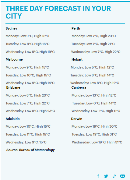
Darwin, on the other hand, will be the warmest city with 19C. Hobart is expected to freeze at 5C, Canberra at 3C in the next 24 hours while 10C and 9C will hit Sydney and Melbourne.
The Alpines above 1600m might face blizzard on Sunday.
Due to the weather conditions, hundreds of flights were canceled or delayed at Sydney’s Kingsford Airport with other airports.
Fresh arrival of cold will further disrupt the flight schedules. The NSW National Parks and Wildlife Service has also recommended postponing backcountry travel until weather conditions improve.
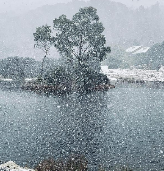
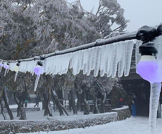
Weatherzone added that the cold front is resulting in powerful showers, winds and snow in parts of Victoria, Tasmania, NSW and Victoria, and South Australia will face brisk winds and showers.
Already freezing Queensland will receive chilly winds with worsened cold on Sunday evening, as reported by the BoM.
The NSW Stare Emergency Services spokesperson revealed that they have helped 200 people after heavy winds broke trees across NSW and that they will deploy extra personnel now to relieve more people.
Share this post with your friends and family:)


